Ditch the Beach: Head Inland to These Dried Out Lake Beds for Some Seriously Epic Photography Ops (Before They Get Wet Again!)
Dried-out lake beds can offer a unique and captivating experience for those willing to explore them. These stark and desolate landscapes can be found worldwide, each with its unique features and characteristics–from the world’s largest salt flat in Bolivia to the lowest point in North America at Death Valley in California, these landscapes can be a photographer’s dream. They also offer striking vistas and dramatic lighting. But the appeal of dried-out lake beds goes beyond just their visual appeal.
They can also offer insights into the geological history of an area, provide habitats for unique wildlife and plant species, and even hold cultural significance for local communities.
In this roundup, we will explore some of the most popular and fascinating dried-out lake beds worldwide and discover why they are worth a visit.
Some popular ones include:
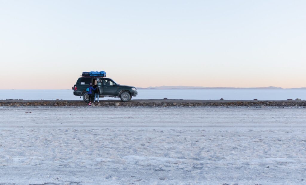
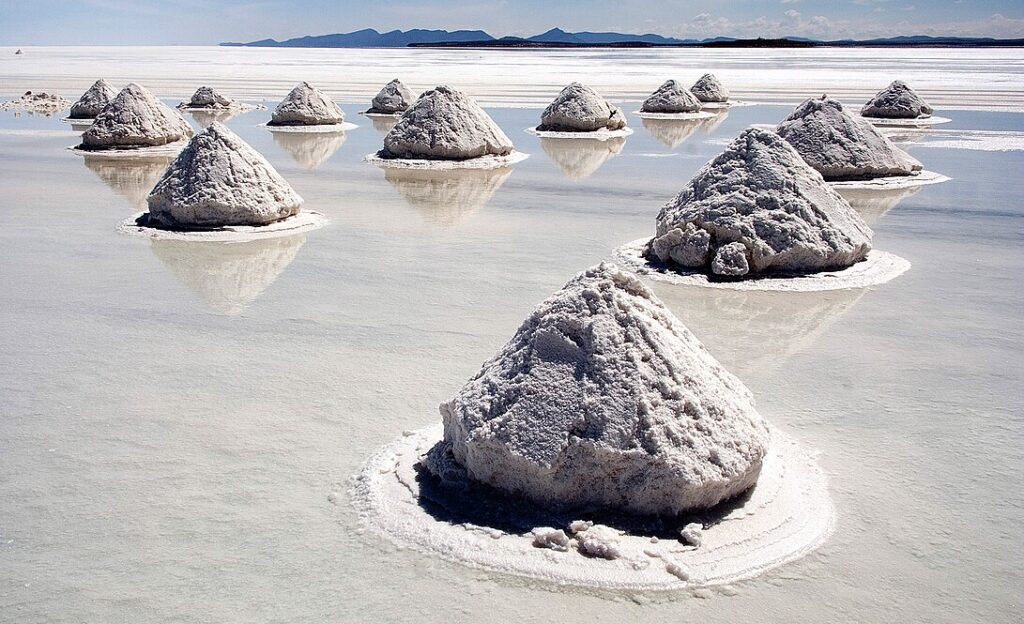
- Salar de Uyuni, Bolivia: This is the world’s largest salt flat and offers a stunning white landscape that stretches for miles.

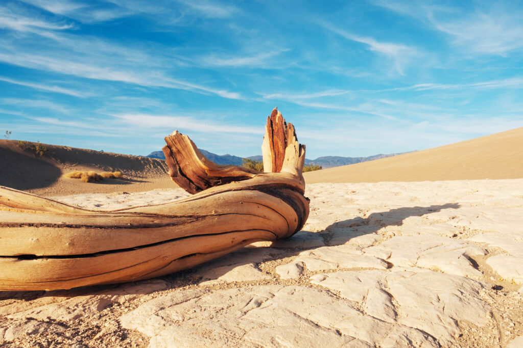
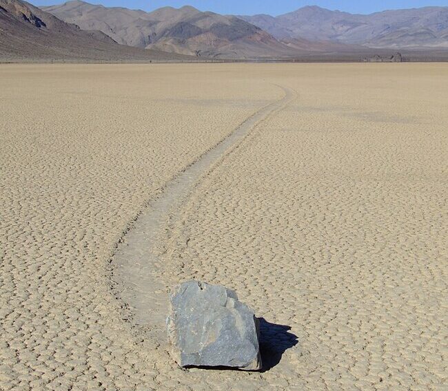
- Death Valley, California, USA: This is North America’s lowest and driest place and offers a unique landscape with colorful rock formations, dunes, and salt flats.
- Lake Eyre, Australia: Australia’s largest lake is often dry, offering a stunning, stark landscape of salt flats and red sand.
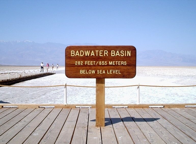
- Badwater Basin, California, USA: This is the lowest point in North America and is a salt flat that offers a unique landscape for photography.

- Etosha Pan, Namibia: This large salt pan in Namibia offers a stark, flat landscape that is often home to wildlife.
- Danakil Depression, Ethiopia: This is a desert basin that is one of the hottest and driest places on Earth, with salt flats, volcanic craters, and colorful mineral deposits.
- Lake Natron, Tanzania: This salt lake often appears blood red due to algae, offering a unique and striking landscape for photography.
TIP: It’s important to note that some of these locations may require permits or special access, so it’s always best to research and plan before photographing these dried-out lake beds.
Did you know?
One interesting thing you may not know about dried-out lake beds is that they can be essential sources of information for studying the history of the Earth’s climate.
The sediments that accumulate at the bottom of dried-out lake beds can contain records of past climate conditions, such as temperature and precipitation patterns, going back thousands or even millions of years.
By analyzing these sediments, scientists can learn about the Earth’s past climate cycles and how they have changed.
A little history:
Dried-out lake beds, also known as playa lakes, have been a part of the Earth’s landscape for millions of years. Many of these dried-out lakes were formed during ancient geological periods when the Earth’s climate was much different than it is today.
For example, during the last Ice Age, which ended approximately 12,000 years ago, much of the Earth’s water was locked up in glaciers, and many areas that are now arid deserts were covered in water.
Over time, changes in the Earth’s climate and geological activity have caused many of these ancient lakes to dry up, leaving vast expanses of flat, dry land.
The process of a lake drying up can take centuries or even millennia and often involves changes in precipitation patterns, evaporation rates, and changes in the geology of the surrounding landscape.
Throughout history, dried-out lake beds have played an essential role in human societies. They have been used for agriculture, grazing, and even as sites for human settlements. For example, the ancient city of Mohenjo-Daro, located in present-day Pakistan, was built on the banks of a dried-out lake bed.
Many dried-out lake beds are essential sources of minerals, such as salt and borax, which are mined for industrial purposes.
In recent years, the study of dried-out lake beds has become an important area of research for geologists, climatologists, and other scientists. By analyzing the sediments found at the bottom of these ancient lakes, researchers can learn about past climate conditions, geological activity, and even the evolution of life on Earth.